
Industry analysis
Barbours Cut Expansion: Signals for Houston Developers
Barbours Cut's proposed northside expansion has entered active regulatory review. Greater Houston owners should read the project as a long-range signal for logistics, access, utilities, and industrial planning.
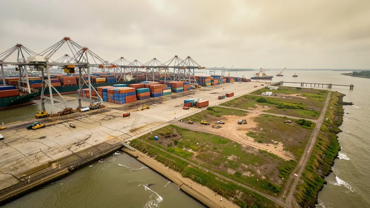
A major proposed expansion at Barbours Cut has moved into active regulatory review, giving Greater Houston developers a useful long-range signal about where maritime capacity, transportation access, environmental review, and industrial infrastructure may be heading.
The proposed Barbours Cut Northside Expansion is not an immediate construction-start announcement. The Texas General Land Office’s September notice says phased construction is anticipated to begin no later than 2032, with terminal capacity anticipated around 2036. The U.S. Army Corps of Engineers is preparing an Environmental Impact Statement and opened a public scoping process for the proposed project. That distinction matters: the current news is about planning and review, not a guaranteed near-term building boom.
Even so, the scale of the proposal is large enough to matter for owners evaluating industrial, logistics, infrastructure, and service projects around the Houston Ship Channel. The right response is not to speculate about future land values or contractor pricing. It is to understand the infrastructure signals and identify which project assumptions should be tested earlier.
The proposed expansion is a multi-system project
The Texas General Land Office notice describes a proposed marine container terminal of roughly 318 acres in La Porte. The concept includes two vessel berthing slips, about 3,200 linear feet of pile-supported concrete wharf, turning-basin work, dredging, new access roads, drainage features, and utility or pipeline relocations. It also identifies substantial work in and around coastal waters.
For developers, the important point is not any single dimension. It is the number of systems that have to move together: marine works, civil construction, roadway connections, drainage, utilities, environmental approvals, and terminal operations.
That complexity is a reminder that large industrial projects near the Ship Channel should be screened as infrastructure projects, not simply as building projects. A warehouse, manufacturing facility, maintenance yard, or logistics site may have a conventional building program while still depending on road capacity, truck circulation, drainage, utilities, pipeline conflicts, and external approvals.
The current federal and state review process also shows that permitting and environmental work can be a primary project path. Owners considering nearby sites should not assume that off-site infrastructure will advance on the same schedule as their private development.
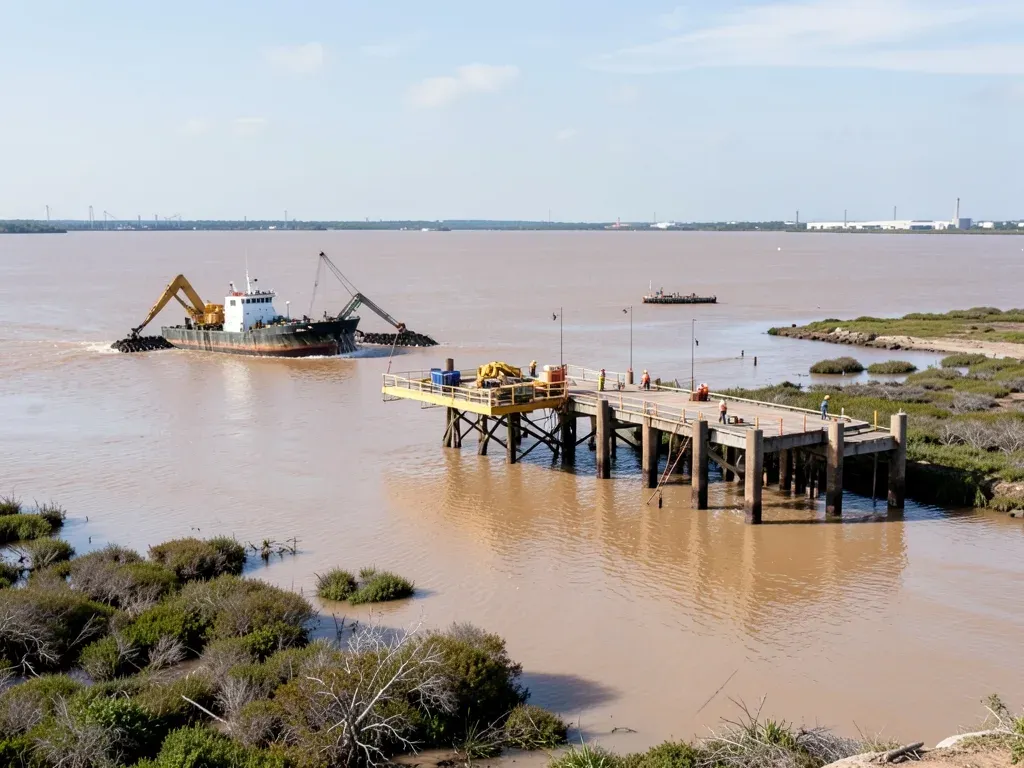
Regulatory review is a schedule signal, not a construction guarantee
The Army Corps’ September 2 notice states that it is preparing an Environmental Impact Statement for the proposed expansion and is evaluating environmental effects, alternatives, and other factors relevant to a permit decision. The Texas General Land Office’s September 18 notice opened a state coastal-consistency comment period.
Those steps indicate active review, but they do not mean the project has completed its approvals. For private owners, that is a useful model for how to read major infrastructure headlines. Separate the project into stages: concept, regulatory review, final approvals, design progression, procurement, construction, and operations. Do not underwrite a nearby private project as if every stage is complete simply because a large public or quasi-public investment has entered the news cycle.
This matters for land acquisition and entitlement strategy. If a site depends on future roadway improvements, new utility capacity, changed drainage patterns, or construction access associated with a major infrastructure program, those dependencies should be written down and tested individually.
A practical due-diligence question is: what still works if the external project moves later than expected? That question often reveals whether a development plan is resilient or overly dependent on an uncertain date.
Truck access and roadway planning deserve early attention
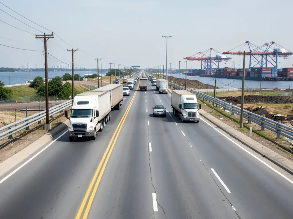
Port Houston’s September 24 meeting release says 99% of its containers are moved by truck and that its two container terminals together serve about 10,000 trucks per day. The proposed Barbours Cut expansion also includes new terminal access roads and upgrades to off-terminal roads around the SH 225 and SH 146 interchange.
Those sourced facts do not prove that traffic conditions will worsen at any particular private site. They do, however, reinforce the importance of freight access as an early design input for projects in the port-oriented submarket.
Developers should test turning movements, driveway spacing, queueing, trailer circulation, employee parking, emergency access, and delivery windows before the building footprint is fixed. A site plan that works for passenger vehicles may fail operationally when heavy truck movements are added.
For existing industrial properties, access analysis can also influence renovation decisions. Adding dock positions or changing the tenant mix may shift traffic patterns even when the building shell changes very little.
Utility and pipeline conflicts can become early feasibility questions
The state notice specifically references pipeline relocation or movement as part of the proposed terminal program. In the Houston Ship Channel area, private projects can also encounter dense utility and pipeline networks that constrain grading, foundations, access, or expansion areas.
The lesson for owners is procedural: identify known easements and utility corridors early, then verify field and record conditions before committing the site plan. Do not treat a line on a survey as the end of the investigation when a project depends on large paved areas, deep foundations, drainage structures, or heavy truck routes.
If relocation or protection is required, the schedule may depend on outside entities. That can affect design release, procurement, and the sequence of civil work. Owners should distinguish between work directly controlled by the project team and work requiring third-party agreements or utility coordination.
This is analysis based on the characteristics of the proposed port project, not a claim that every nearby development will face a pipeline conflict.
Long-range capacity planning can influence private development decisions
Port Houston’s September meeting update also highlighted continuing coordination with the Army Corps on Houston Ship Channel priorities and future cargo growth. The port is simultaneously advancing operational and infrastructure initiatives at existing facilities. Together with the Barbours Cut proposal, that points to a long planning horizon for regional freight capacity.
For developers, a long horizon changes how the signal should be used. It is more relevant to site strategy, phased master planning, and infrastructure diligence than to next-quarter bid pricing. Owners should avoid turning a 2030s capacity plan into a short-term forecast for rents, land values, labor costs, or material prices.
Instead, use the information to ask whether a project can adapt as the surrounding network changes. Can a site add trailer storage later? Is there room for a second access point if permitted? Can utilities be expanded without rebuilding finished areas? Can drainage and paving be phased? Are building setbacks and circulation patterns flexible enough to support a different operating profile?
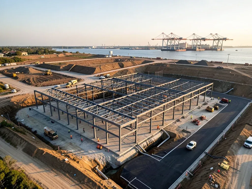
What Greater Houston owners should watch next
The most important next steps are regulatory, not promotional. Watch the Army Corps’ Environmental Impact Statement process, state coastal review, future Port Houston capital decisions, and any design or procurement milestones that clarify the schedule and scope.
Owners evaluating sites near La Porte, Baytown, Pasadena, Deer Park, or other Ship Channel submarkets should keep their own diligence separate from the port project’s approvals. Confirm road access, drainage, utilities, easements, environmental conditions, and entitlement requirements for the specific parcel.
The proposed Barbours Cut Northside Expansion is significant because it shows how Greater Houston is planning for additional container capacity over a long horizon. Its practical value for private developers is not a promise of immediate demand. It is a prompt to treat freight access, external infrastructure, environmental review, and utility coordination as core feasibility questions before design and capital commitments become difficult to change.